

Author: Kaniece Tell
-
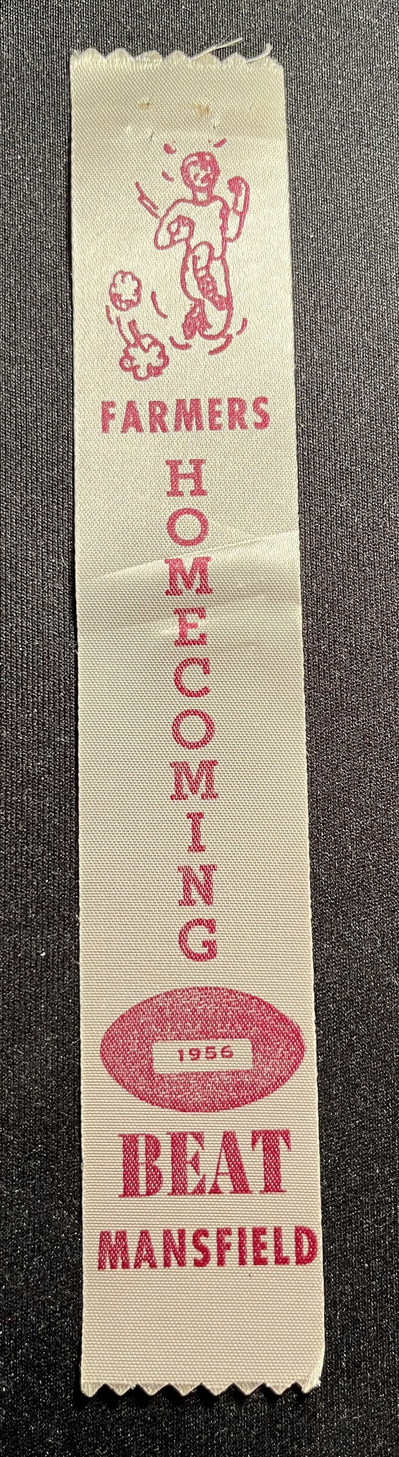
1956 Spirit Ribbon – Farmers Homecoming Beat Mansfield
Circa 1956 THE ITEM A white ribbon, measuring approx. 1.5 inches by 8.25 inches, printed in red with the words “Farmers Homecoming Beat Mansfield” and images of a football player and a football with the year 1956 inset. Used in connection with the 1956 LHS football game against Mansfield. THE HISTORY Lewisville beat Mansfield, 53-6,…
-
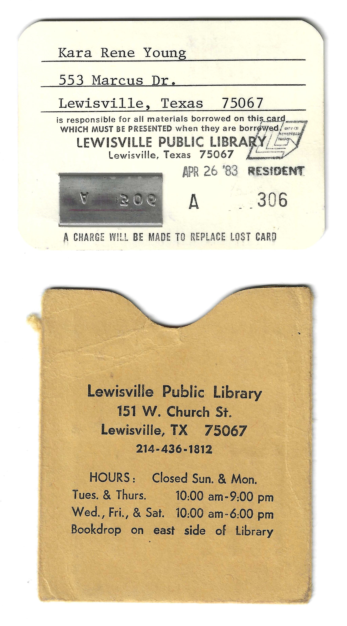
1983 Library Card – Lewisville Public Library
Circa 1983 THE ITEM A printed card, measuring approx. 3 inches by 2.25 inches, stored in a tan cardstock sleeve, measuring approx. 2.5 inches by 3 inches. The card is on white card stock printed in black ink with information about the Lewisville Public Library. The name and address for Kara Rene Young is typed…
-
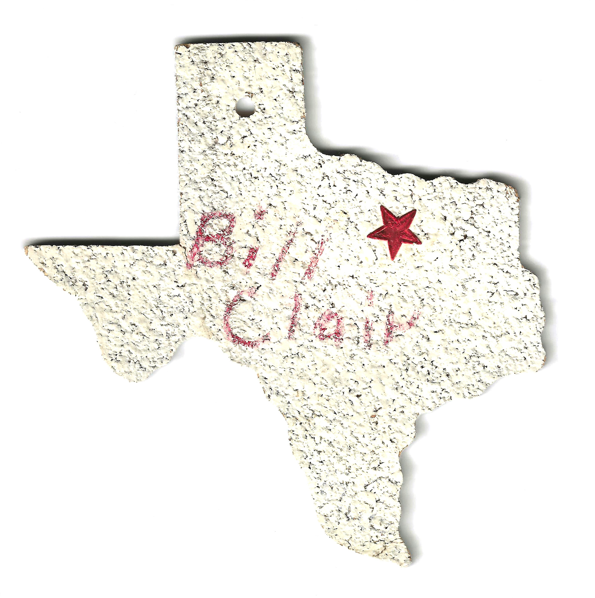
1972 Ornament – Football State Finals
Circa 1972 THE ITEM A piece of corkboard cut in the shape of Texas, measuring approx. 4 inches by 4.5 inches, painted white on the front face. A glittery red star sticker has been used to mark the approximate location of Lewisville, and the name “Bill Clair” has been written on the front in red…
-
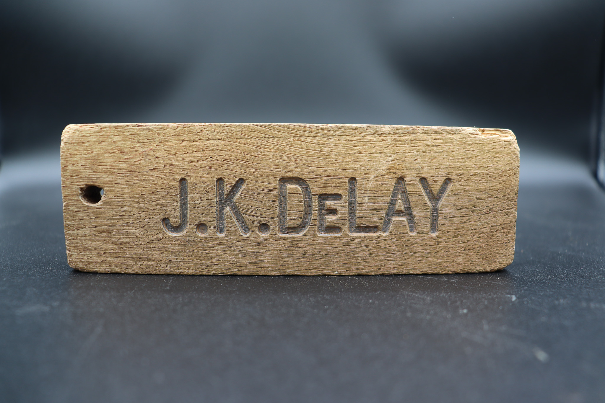
1979 Wood Block – DeLay Middle School Hall Pass
Circa 1979 THE ITEM A brown wood block, approx. 6 inches by 2 inches by .75 inches, with some wear and chipping at the corners. The two large faces are machine-carved with the words “J.K. DeLAY” on one side and “BRASHEARS” on the other. THE HISTORY The block was used as a student hall pass…
-
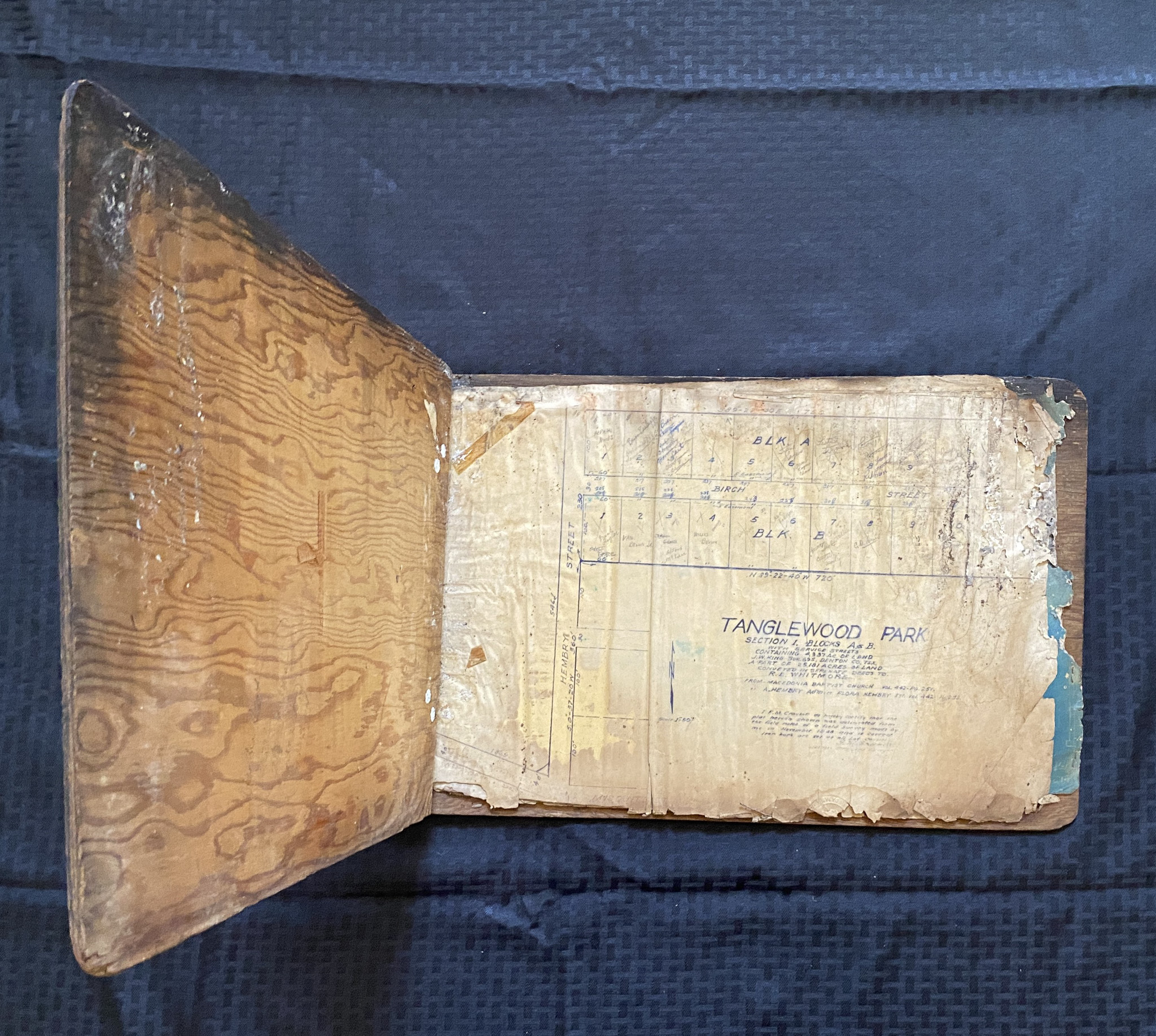
1958 Book – Timberwood Park Plan Documents
Circa 1958 THE ITEM A set of ledger-sized paper sheets enclosed between handmade wooden covers, measuring approx. 20 inches by 13 inches, with two metal hinges on the short left end and held closed by a double loop of brown twine. Contents include plats and house plans for the Timberwood Park neighborhood (commonly called the…
-
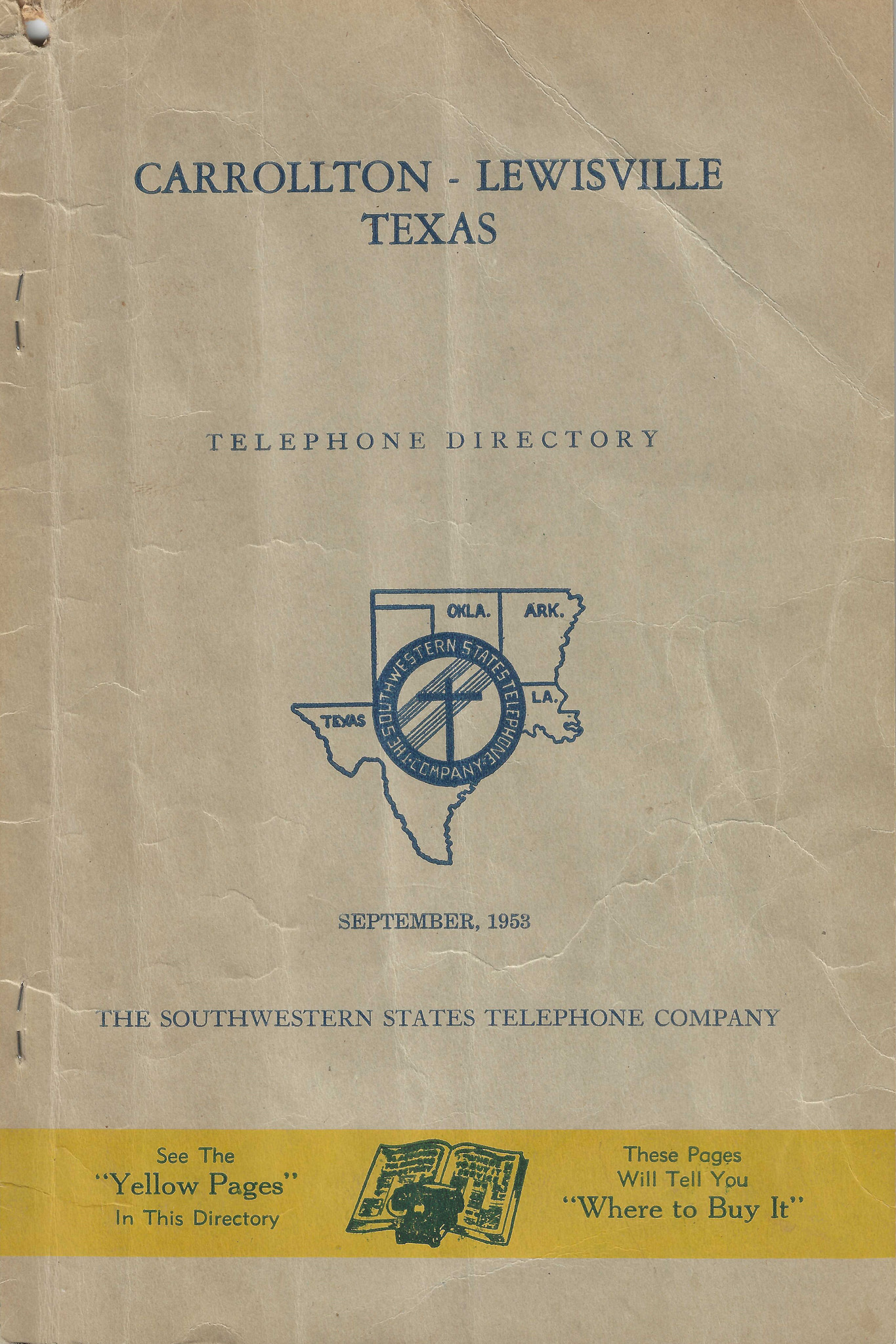
1953 Phone Book – Lewisville and Carrollton
Circa 1953 THE ITEM Brown softcover book, folded and staple bound, measuring approx. 6 inches by 9.25 inches. Cover is printed with images and words that identify this as the Carrollton-Lewisville Telephone Directory pursued in September 1953 by Southwestern States Telephone Company. THE HISTORY Advertisers: Rhoton Funeral Home, Fred Thompson Pontiac (Hwy 77), Huffines Motor…
-
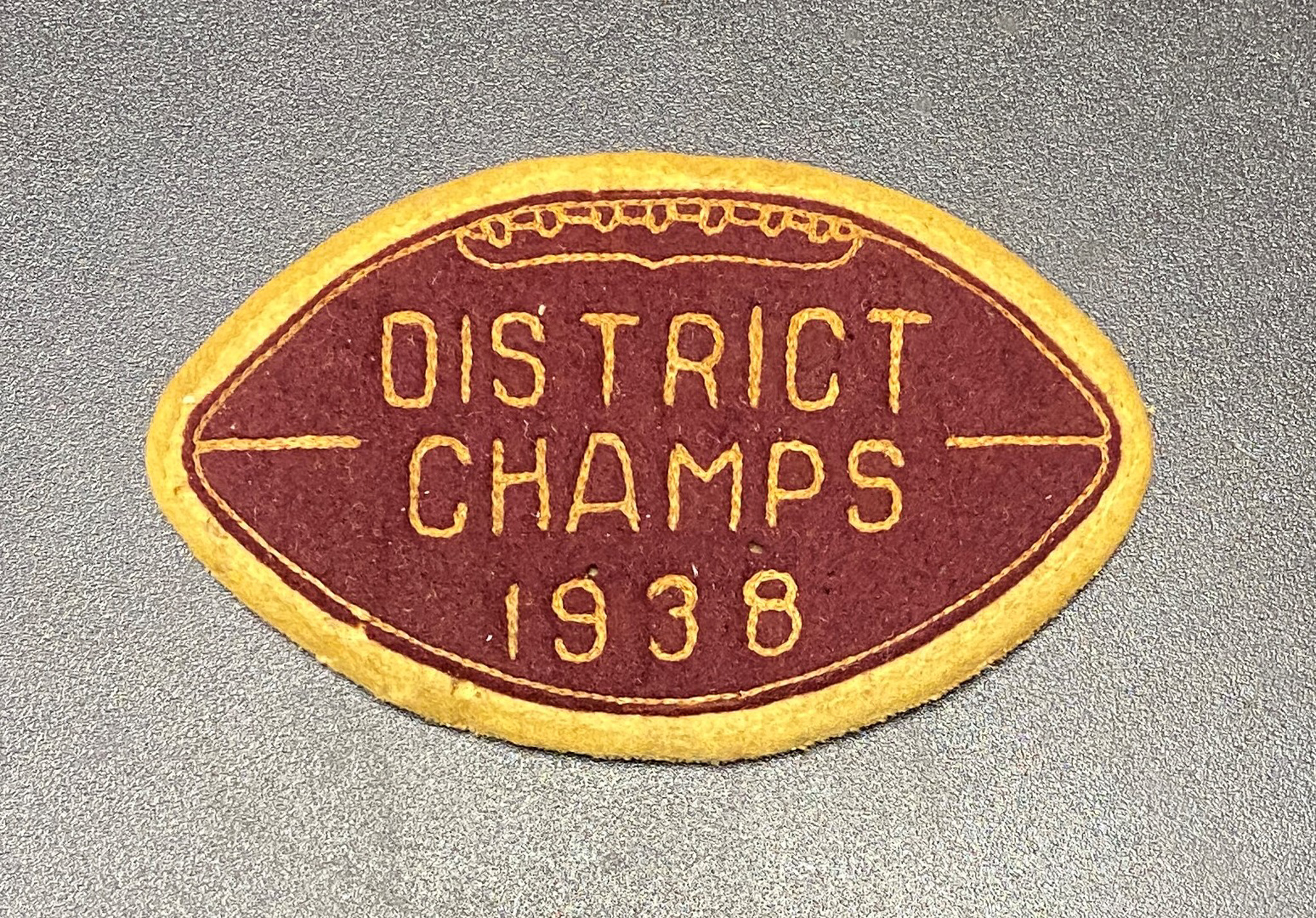
1938 Patch – Football District Champion
Circa 1938 THE ITEM An embroidered patch in the shape of a football, measuring approx. 4 inches by 2. 5 inches. Backing is white cloth. Front is maroon with a white border and white stitching that reads “District Champs 1938.” THE HISTORY This letter-jacket patch was worn by 1940 LHS graduate William Garrison, father of…
-
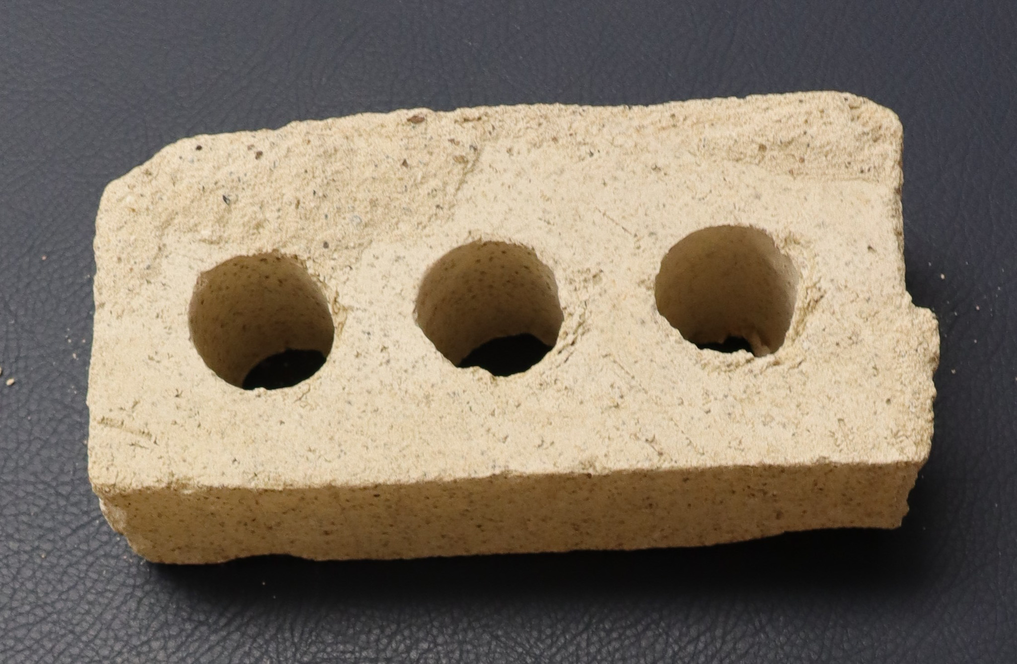
1949 Brick – Original LHS Building
Circa 1949 THE ITEM Gray brick, approx. 8 inches by 4 inches by 2.5 inches tall, with three holes passing through the brick on the largest faces. The brick was salvaged during the 2021 demolition of the original Lewisville High School building on Purnell Street, which opened in fall 1949. THE HISTORY Lewisville’s first high…
-
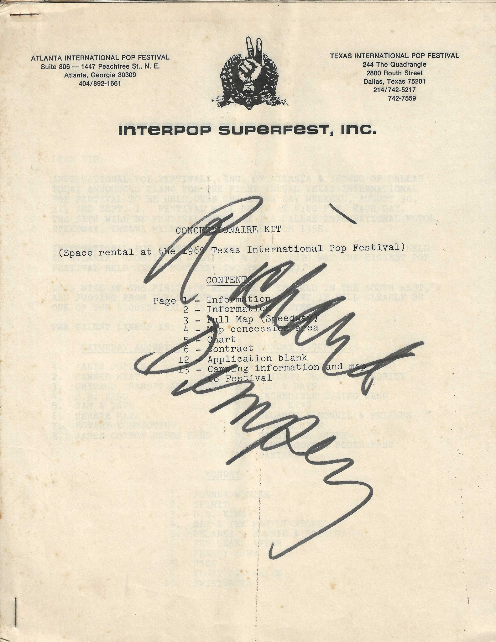
1969 Document – Pop Festival Vendor Agreement
Circa 1969 THE ITEM Black and white photo, measuring approx. 3.75 inches by 5.75 inches, attached to a tan cardboard frame measuring approx. 6 inches by 9 inches. Handwritten note on the back says, “Jimmy Williams” and “George Williams’ Father.” THE HISTORY This photo has been identified as Confederate veteran James C. Williams who, at…
-
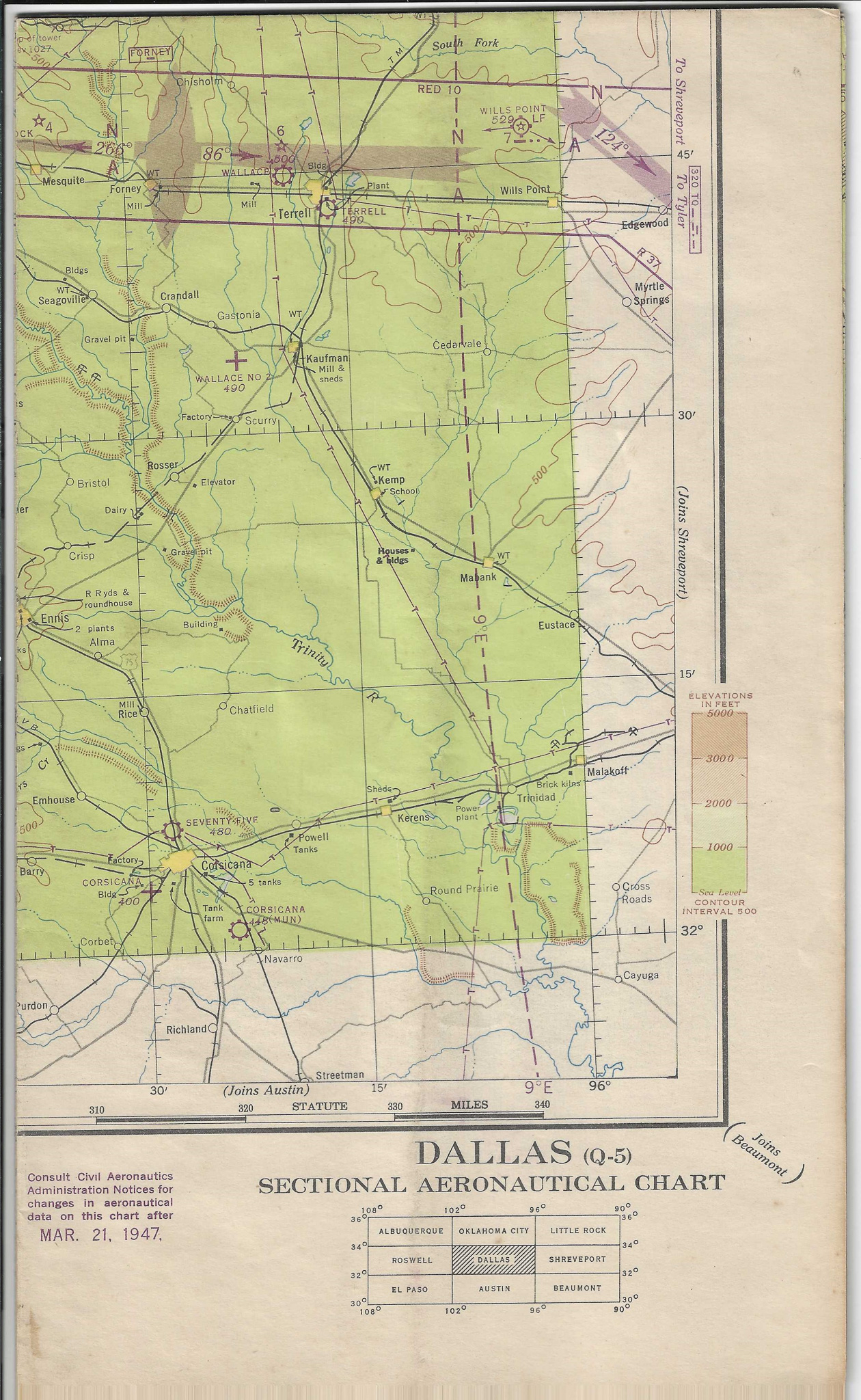
1946 Map – Dallas Aeronautical Area
Circa 1946 THE ITEM Paper map, approx. 49 inches by 23.5 inches, folded multiple times into a finished size of approx. 7 inches by 11.75 inches. Printed on one side, the map is a Sectional Aeronautical Chart for the Dallas area. It was produced in July 1946 by the U.S. Department of Commerce through the…